
Explore the corridor
Share Explore the corridor on Facebook
Share Explore the corridor on Twitter
Share Explore the corridor on Linkedin
Email Explore the corridor link
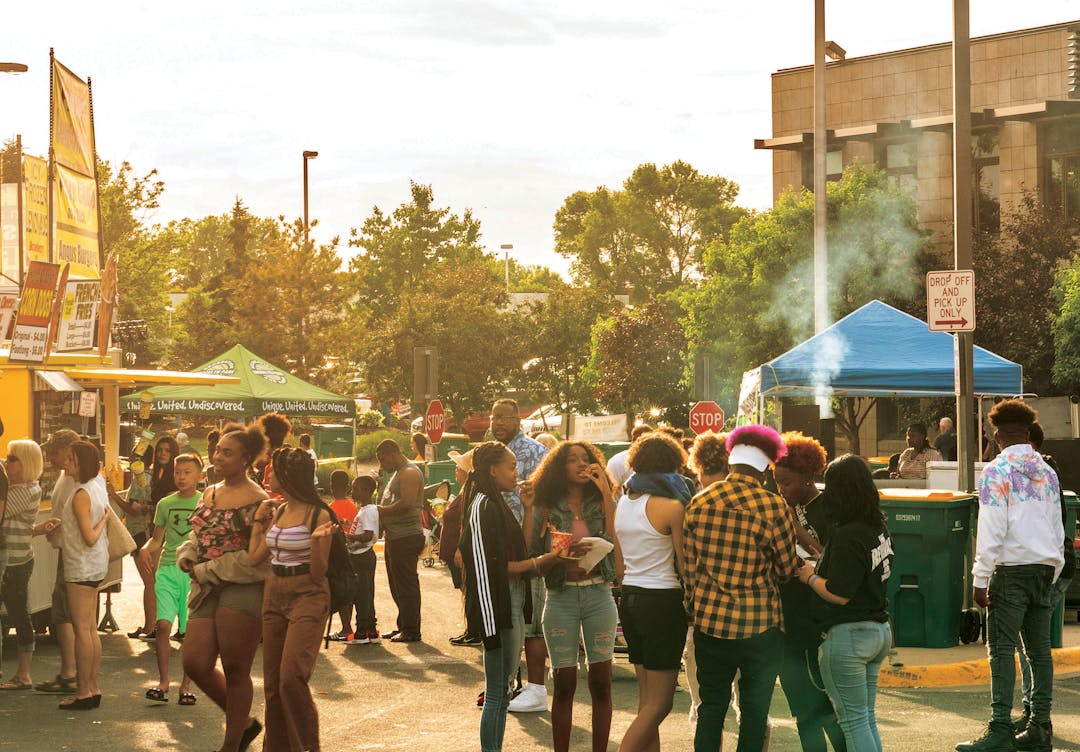
The Metro Blue Line Extension will connect diverse communities and many key destinations and amenities. It’s the corridor’s rich density of people, places, jobs, education, healthcare and more that make it a great fit for light rail.
To help inform planning, conversations and decisions, project staff put together an interactive map to show community demographics and amenities along the corridor like schools, healthcare facilities, parks, faith communities, food shelves, job centers, biking and walking connections, other planned and existing transitways and much more.
Explore the corridor using the interactive community context map:

Page last updated: 26 Jun 2023, 01:08 PM
Please add the C and D BRT Lines and stations to the map. This will make it easier to envision how the Blue Line Extension will fit with existing transit system.